Blue Mountains Photography Locations
-
Coordinates:
-33.7226, 150.3755How to get there:
Park at Wentworth Falls Picnic Area (Sir H Burrell Drive). Walk via the National Pass / Valley of the Waters track.Access:
Moderate difficulty
Steep descent with lots of stairs
~20–30 min walk down
Return climb is strenuous
Best time to shoot:
Early morning (soft light, fewer people)
After rain (strong flow + mist)
Works well in overcast conditions
Conditions:
Can be slippery
Humid rainforest environment
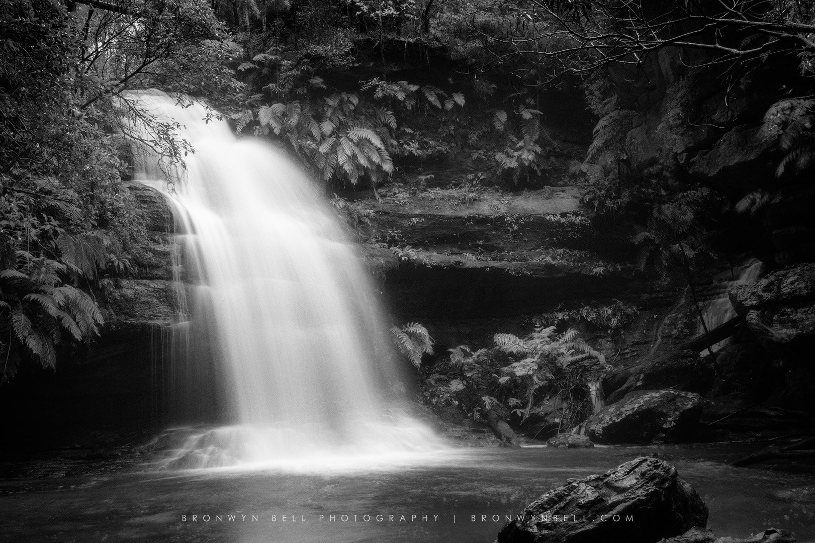
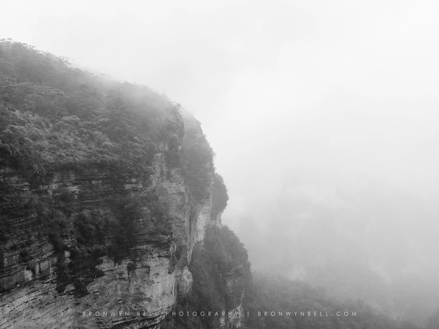
Description:
One of the most photogenic waterfalls in the Blue Mountains, with layered rock, flowing water, and mist that suits long exposures beautifully.Blog link:
-
Coordinates:
-33.7090, 150.3750
How to get there:
Drive to Wentworth Falls Lookout via Falls Road.Access:
Very easy
Short walk from car park
Multiple viewing platforms
Best time to shoot:
Sunrise (light hitting valley)
Late afternoon for side light
Can be harsh at midday
Conditions:
Windy on cliff edges
Can get busy
Description:
Expansive views across the Jamison Valley with the waterfall dropping dramatically over the escarpment.Blog link:
-
Coordinates:
-33.6352, 150.2837How to get there:
Drive to Govetts Leap Road, Blackheath → car park at the lookout.Access:
Very easy
Short walk to lookout
Best time to shoot:
Sunrise (best light direction)
Misty mornings (excellent atmosphere)
Conditions:
Cold in winter
Strong winds possible
Description:
One of the most iconic Blue Mountains lookouts, featuring Bridal Veil Falls and vast valley views.Blog link:
-
Coordinates:
-33.7107, 150.3680How to get there:
Drive to Hordern Road, Wentworth Falls → short bush track to lookout.Access:
Easy walk (~5–10 mins)
Flat track
Cliff edge—no barriers
Best time to shoot:
Sunrise (primary)
Sunset also works
Conditions:
Very exposed
Wind can be strong
Safety required near edge
Description:
A dramatic clifftop with uninterrupted views—ideal for wide-angle compositions and sunrise light.Blog link:
-
Coordinates:
-33.6805, 150.2890How to get there:
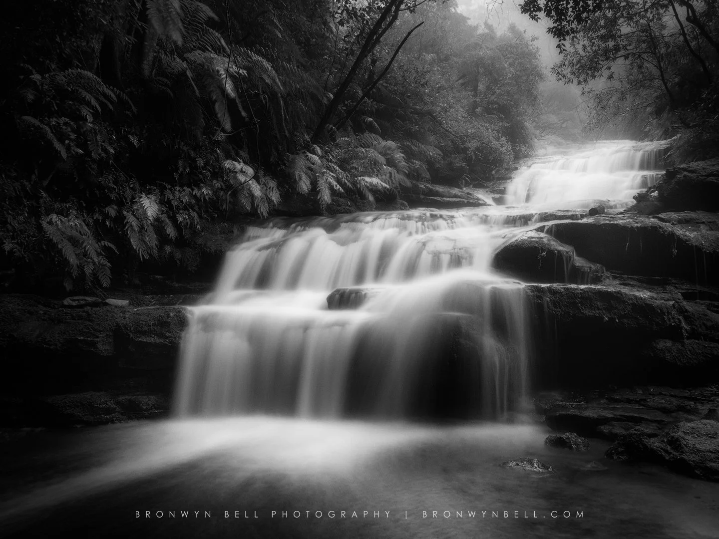
Drive along Megalong Valley Road → stop near Coachwood Glen → track into forest.Access:
Moderate
Short walk but uneven terrain
Some steps and rocky surfaces
Best time to shoot:
Overcast days (best light)
After rain (lush, vibrant greens)
Conditions:
Dark environment → tripod recommended
Slippery rocks
Description:
A hidden gem featuring textured rock formations and a cave-like structure surrounded by rainforest.Blog link:
-
Coordinates:
-33.5905, 150.2508How to get there:
Drive to Mount Victoria → follow local streets to Sunset Rock / Sunset Lookout.Access:
Very easy
Short walk from street
Best time to shoot:
Sunset (primary)
Golden hour
Conditions:
Can be windy
Limited space
Description:
A quieter sunset location overlooking the Megalong Valley with expansive golden-hour views.Blog link:
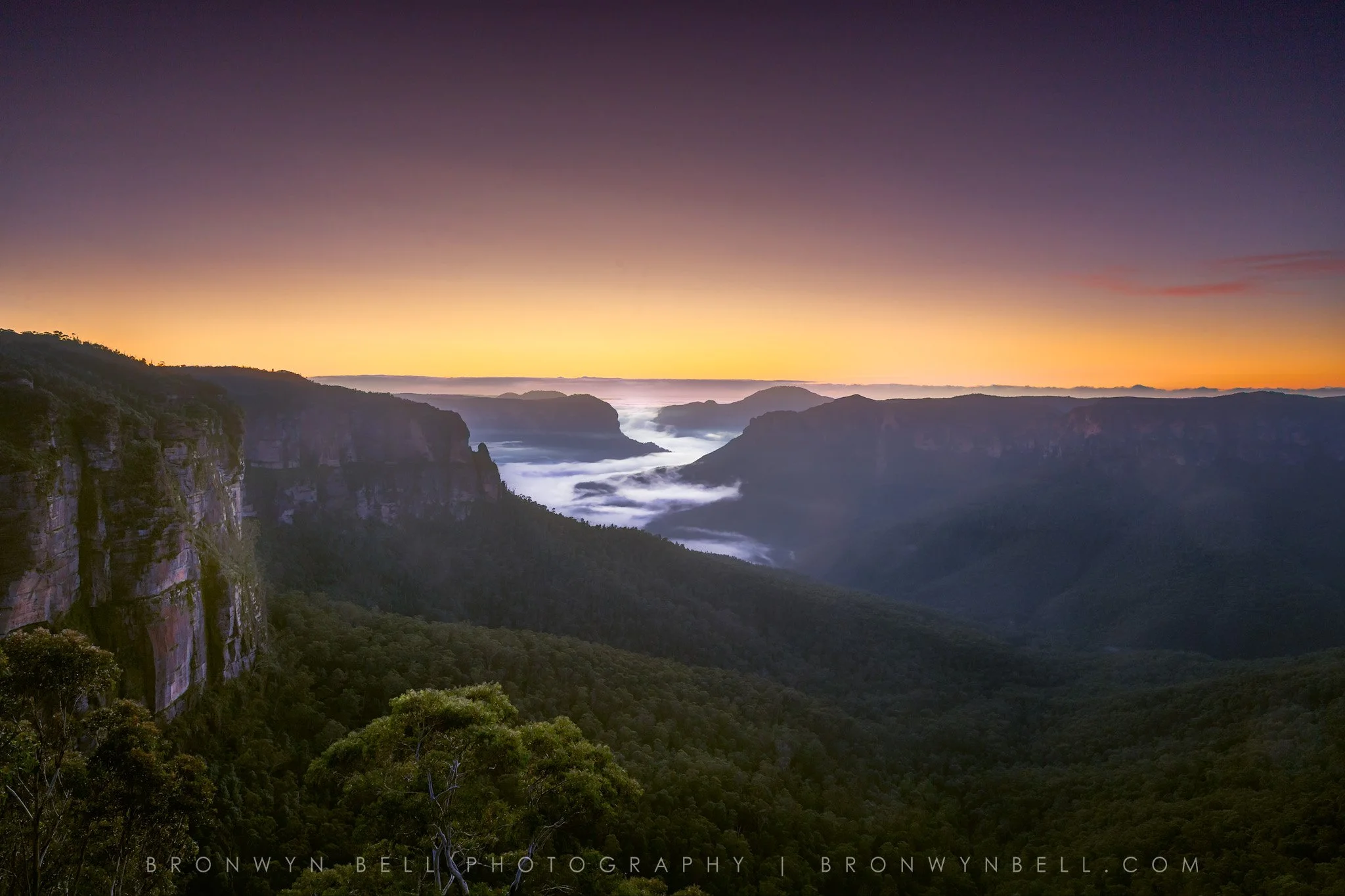
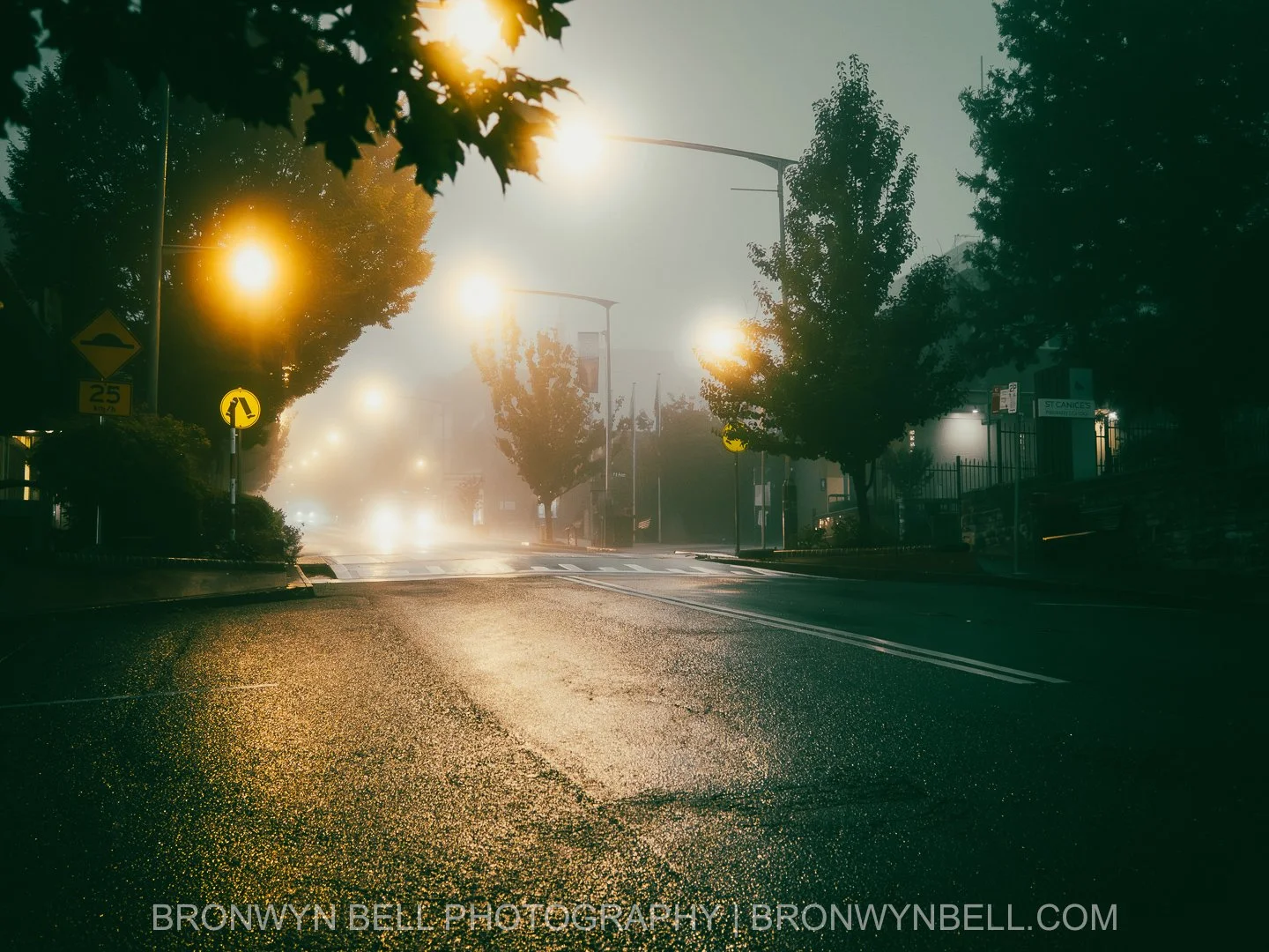
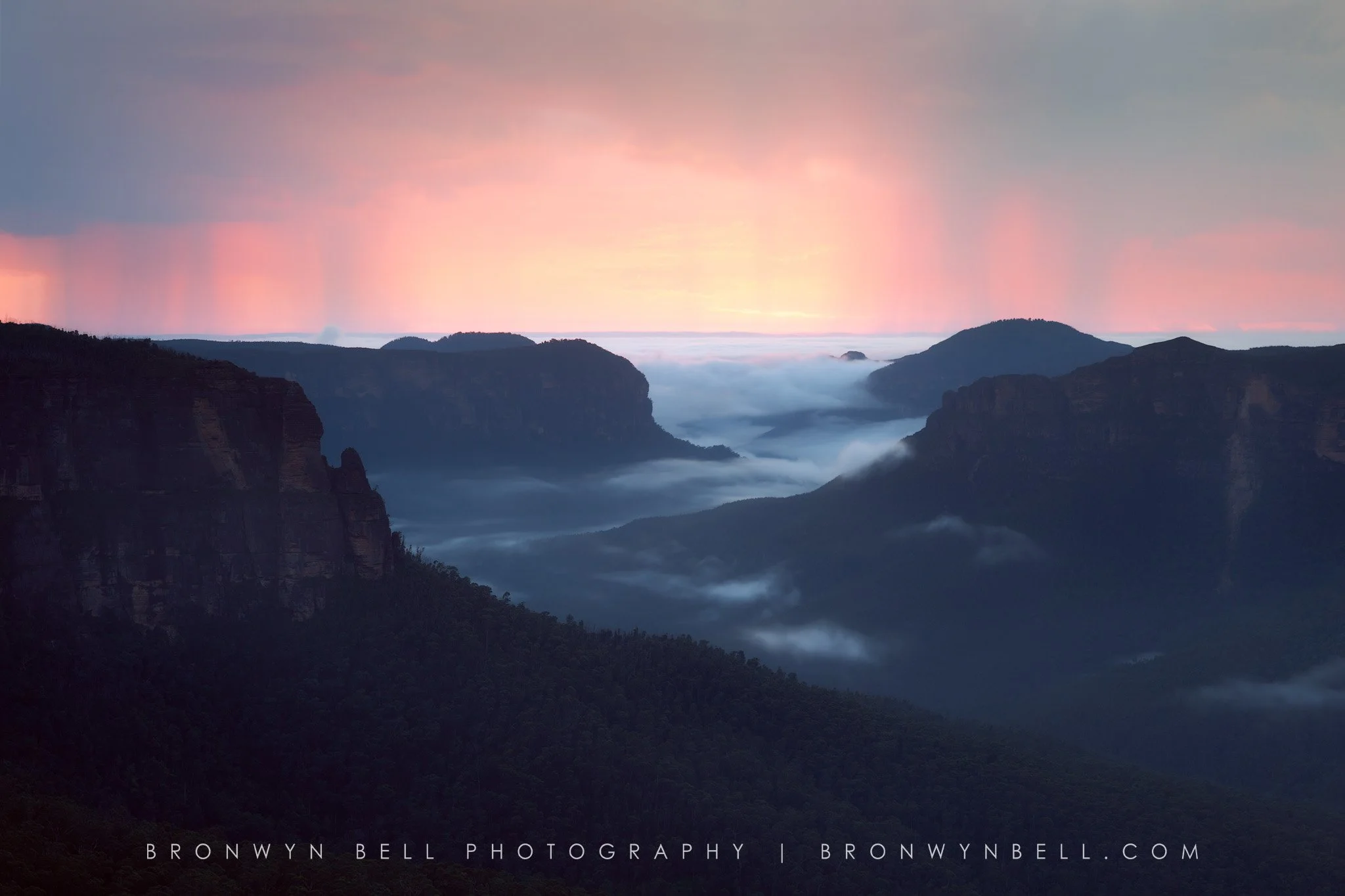
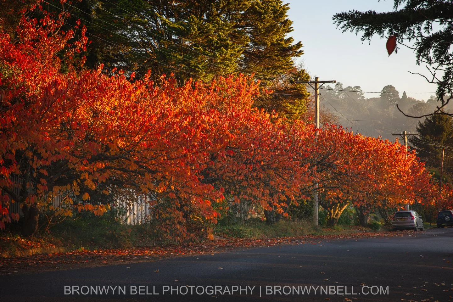
Breath of the Mountains — A Photographic Journey of the Blue Mountains, NSW.
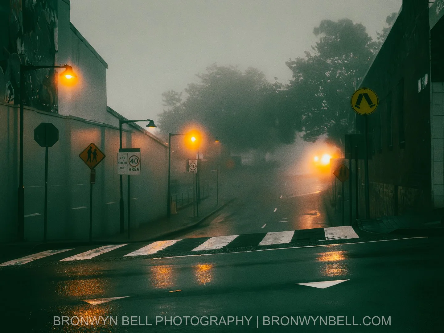
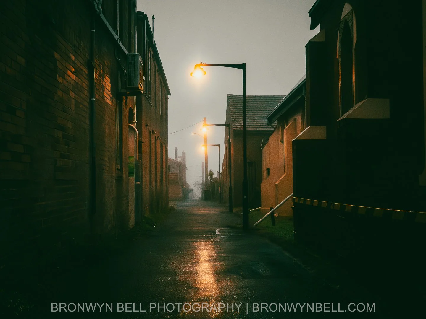
This photographic series captures the wide variety of scenic locations and weather in the Blue Mountains of New South Wales.
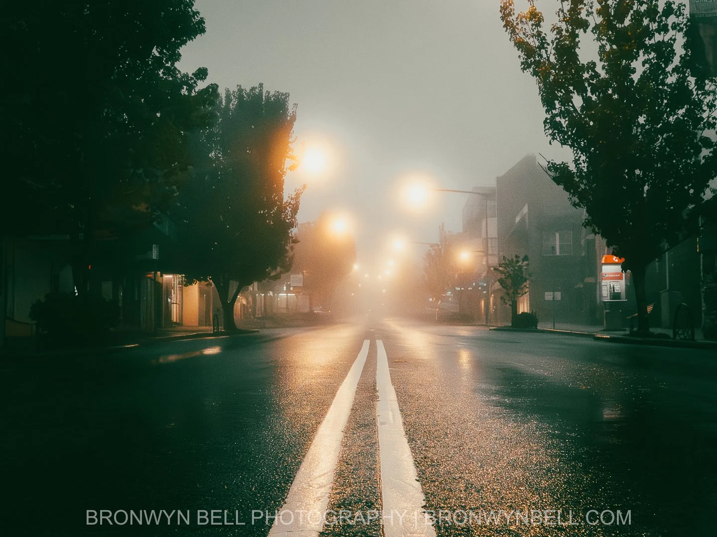
Through reflections, diffused light, and subdued colour, the series evokes the mood of early morning in the Blue Mountains—cold, silent, and contemplative. These photographs document Katoomba and surrounds not as a tourist destination, but as a living place shaped by weather, light, and season, revealing the quiet beauty found in fog, rain, and the passing hours before the town awakens.